Browse Items (1271 total)
Sort by:


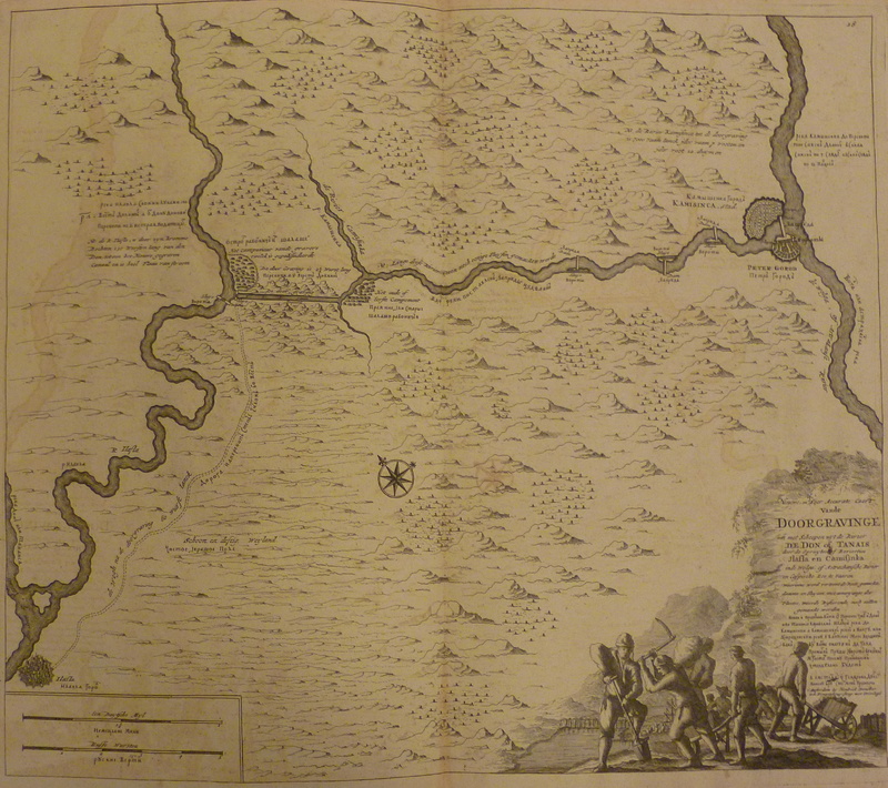
Sheet from the atlas of the Don River produced by Cornelius Cruys and published in 1704.
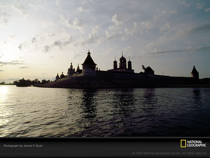
"The Makarevski Sheltovodskii monastery stands silhouetted against a pearly sky as the waters of Russia's Volga River drift by."
Photo shot on assignment for, but not published in, "A Russian Voyage: From the White to the Black Sea," June 1994,…
Photo shot on assignment for, but not published in, "A Russian Voyage: From the White to the Black Sea," June 1994,…
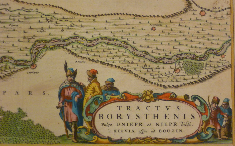

Scheme of the Dnepr River basin sourced from Wiki Commons

Topology "map" of the rivers of southern New England produced by Daniel Huffman, cartographer and author of the blog, "somethingaboutmaps."

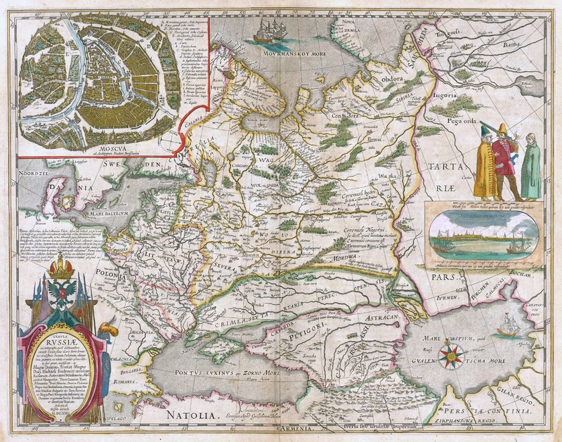
Rivers of the empire as depicted on the Geographical Atlas