Wharves
These are the crucial connections between river-based and overland transport. Sites for the loading and unloading of goods - of sweating and swearing and haggling. Sites of expertise and ambition.
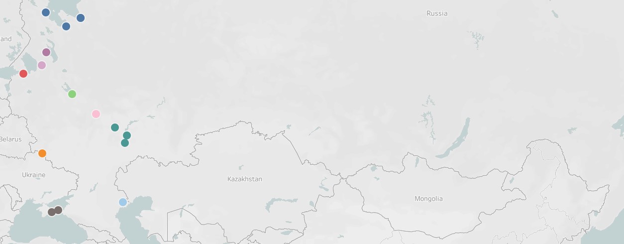
The wharves and piers in these 15 towns witnessed the shipment of enormous quantities of timber and iron, butter and hemp, grain and tea. Think of them as a rough index to Russia's economic geography. Because while rare and visually unremarkable (in the context of the plans), without them the empire might have ground to a halt.
Start Exploring
What happens if I click on an entry?
You will open a page showing an image of the place on the plan that depicts the feature, along with an interactive image showing where the feature is located in the space of the town.
What if I want to learn more about the town?
Click the link to the town plan that serves as the "canvas" for the annotation.
*Note: Opening the "canvas" - in other words, the town plan's main page - is the only way to see all of the annotated sites.
What if I want to move to the next/previous item in the collection?
Use the "Next Page" and "Previous Page" buttons at the bottom.
"wharf" (St. Petersburg)
")
There were, of course, many other wharves in the imperial capital, but at this scale, the plan does not show them.
"2. For stone shops near piers" (Rybnoe)
")
The piers or wharves are not depicted on the plan. They would be located, in theory, on the Volga.
")
")
")
"Wharf" (Syzran)
")
The location of the wharf suggests that it is only in use when the Syzran River floods its banks in spring.
"wharf" (Sengilei)
")
The wharf is on the right bank of the Volga. But open the full canvas and you will see right away that its location has more to do with the fact that it sits near the mouth of the Sengileika River. While the Sengileika is little more than a stream…
")
"1. For the construction of wharves" (Ladeynoe Pole)
")
On the left bank of the Svir River, where original wharves were protected by the earthern fortification.
 wharves" (Petrozavodsk, 1st ed)")
 wharf" (Petrozavodsk, 1st ed)")
"11. For piers" (Gorbatov)
")
A trio of piers on the right bank of the Oka River, each in close proximity to a warehouse for the storage of trade goods (8).
")
")
"K. Particular wharves" (Arkhangelsk, 2nd ed)
")
The wharves on the north end of town near the Admiralty complex must, then, be for "imparticular" purposes.
"Wharves for seagoing ships" (Kem)
")
Wondering why there are wharves for seagoing ships with no sea in sight? It is a fair question. Kem sits at the mouth of the Kem River, where it flows into the White Sea.
")
Collection Tree
- Wharves
IIIF Manifest
Top » Wharves