Browse Items (1271 total)
Sort by:
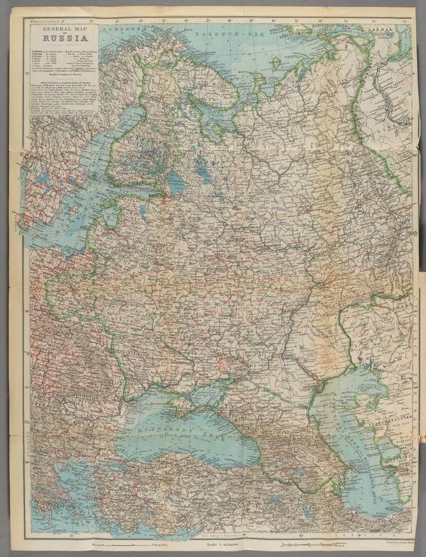
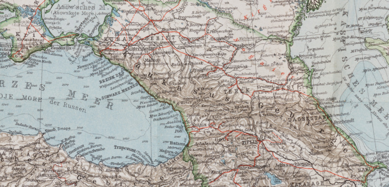
Map no. 32 in the Neuer Handatlas shows Russland or, in this case, European Russia. The scale is 1:8,250,000.
Rail lines are depicted in red.
Rail lines are depicted in red.
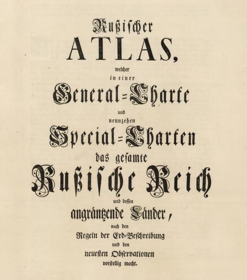
Compiled under the direction of Joseph Nicolas de L'Isle; published by the Academy of Sciences in St. Petersburg in 1745.View the digitized atlas via the Harvard Library Mirador viewerHOLLIS permalink
The atlas is also available as part of the David…
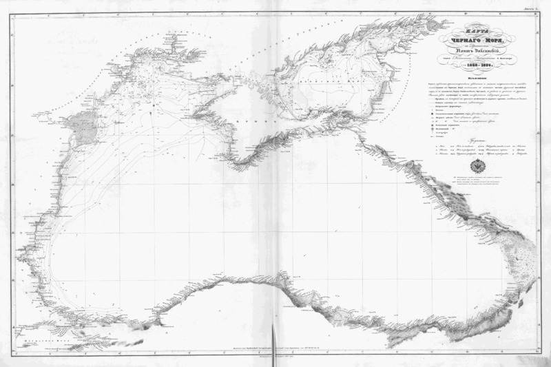
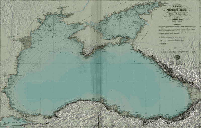
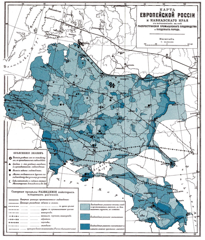
Here is a typical 19th century thematic map. The symbolization scheme is complex, using color, line, and symbol to communicate three different observations: the level of development of the fruit industry, the distribution of fruit varieties, and the…

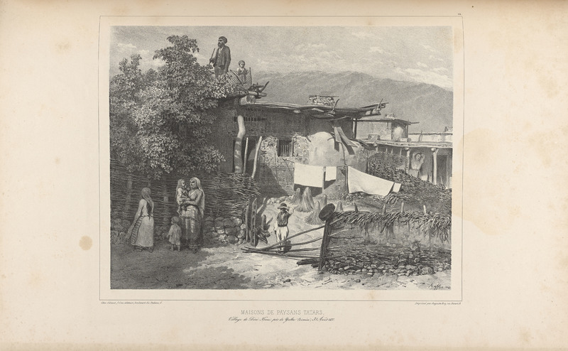
Tatar peasant homes were often built into the sides of hills. Here a man and a small boy stand on a terrace looking into the distance. Demidov trains his Orientalizing gaze on the interior and exterior of the "typical" Tatar home, describing the…