Browse Items (1090 total)

LoC_RussianGeogCards1.jpg
Summary of the culture, history, economy and geography of the province.
Demidov_p174md_Armenians and Tatars in cafe_w.jpg
Interior view of a cafe. Men sit around a table cross-legged smoking pipes. They have taken off their shoes.

18 October 1837
slice_artifacts.png
LoC_RussianGeogCards2.jpg
Summary of the culture, history, economy and geography of the province.
ca000000004_0045_Astrakhan.jpg
Plan2_Astrakhan_p435.jpg
This map can be found on page 435 of Baedeker's Handbook. This particular copy was made accessible by the Getty Research Institute and HathiTrust. Click here to read the catalog entry. The plans in this collection are annotated and tagged in the…
5a2b4c594ab2e7d8c2b38b4349665fcf.jpg

Tags:

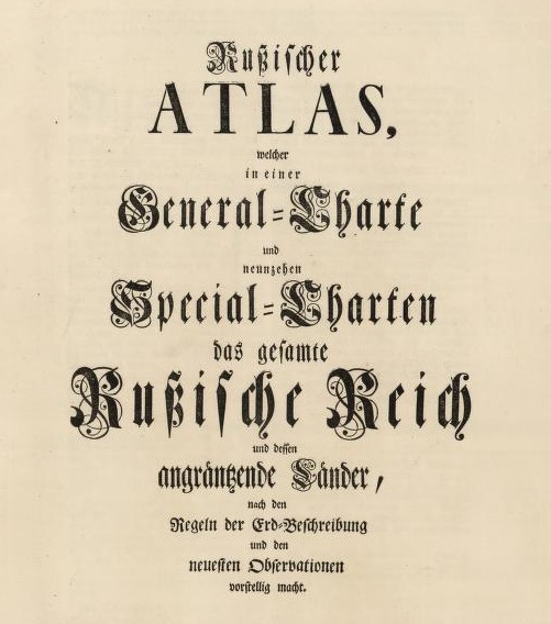
RussicherAtlas1745.png
Compiled under the direction of Joseph Nicolas de L'Isle; published by the Academy of Sciences in St. Petersburg in 1745.View the digitized atlas via the Harvard Library Mirador viewerHOLLIS permalink The atlas is also available as part of the David…
AtlasOfForestryStats_1878_map8.jpg
In addition to the legend items, the map shows the borders of the empire, borders of provinces, major bodies of water (seas, lakes, rivers), rail lines, provincial capitals, mountain ranges. Longitude calculated from both Pulkovo and Greenwich.

Tags:

LoC_RussianGeogCards3.jpg
Summary of the culture, history, economy and geography of the province.
Output Formats

atom, dcmes-xml, json, omeka-xml, rss2