Browse Items (1271 total)
Sort by:
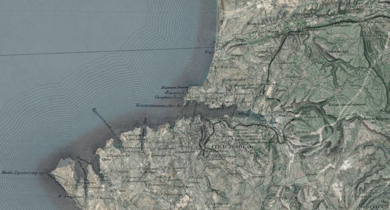
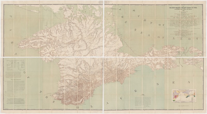
Georeferenced image of the topographical survey sheet overlaid on modern bathymetry
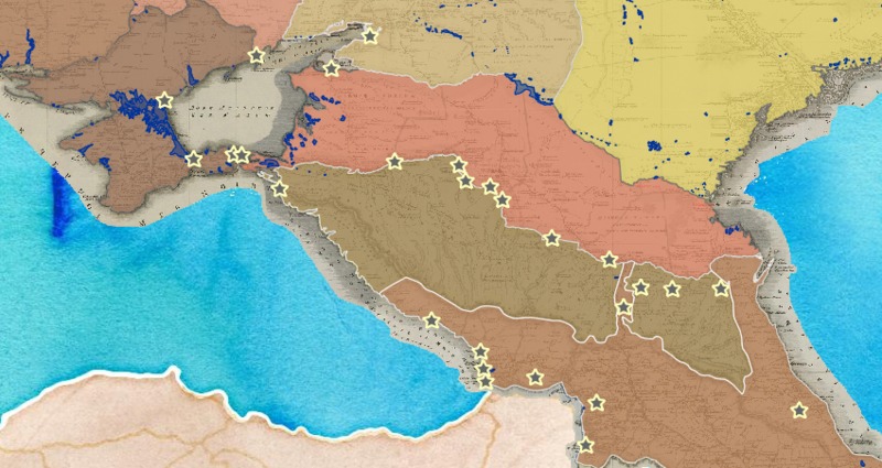
Of the 122 fortresses shown on the atlas,

From the Meeting of Frontiers project: "This souvenir set of eighty-two illustrated cards–one for each province of the Russian empire--presents an overview of each region’s culture, history, economy, and geography in the second half of the nineteenth…
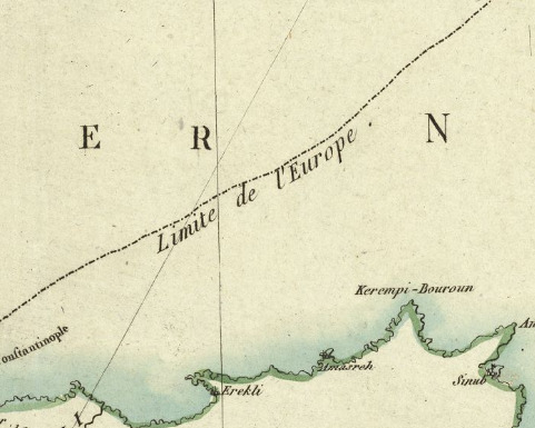
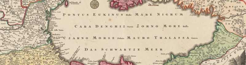
Théatre itinéraire de la guerre actuelle entre les Turcs d'une part, les Russes et les Impériaux d'autre part : carte relative aussi au partage éventuel d'une partie de l'Empire Ottoman