Browse Items (1271 total)
Sort by:

Nova et accurata Tartariae Europaeae seu Minoris et in specie Crimeae delineatio geographica : cum omnibus circa Pontum Euxinum et Paludem Maeotidem jacentibus provinciis

This map was produced by the Military-Topographical Depot of the Russian Empire. The original edition was approved and published in 1860; this edition, apparently with slight corrections, was published in 1862.
The map cost 25 kopeks. One could…
The map cost 25 kopeks. One could…

Fragment of a topographical map of the Crimean peninsula published in 1842 by the Military-Topographical Depot of the Russian Army. The map was built from the triangulations of Lt. Colonel Oberg and topographical surveys performed by Colonel Betev…
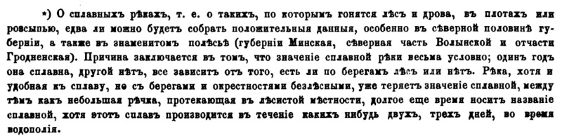
Footnote containing definition of a "splavnaia reka"

Details of the 60 fortresses depicted in the Atlas of Fortresses of the Russian Empire (circa 1830).
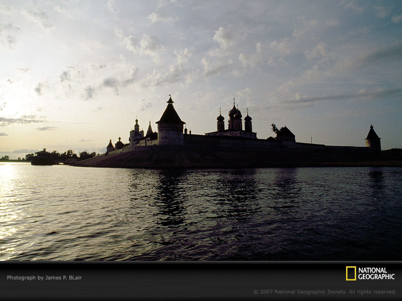
"The Makarevski Sheltovodskii monastery stands silhouetted against a pearly sky as the waters of Russia's Volga River drift by."
Photo shot on assignment for, but not published in, "A Russian Voyage: From the White to the Black Sea," June 1994,…
Photo shot on assignment for, but not published in, "A Russian Voyage: From the White to the Black Sea," June 1994,…

