Skip to main content
The Imperiia Project: Map Gallery Site
Search using this query type:
Keyword
Boolean
Exact match
Search only these record types:
Item
File
Collection
Exhibit
Exhibit Page
Neatline Record
Simple Page
Advanced Search (Items only)
Browse Items (1271 total)
Browse All
Browse by Tag
Search Items
Previous Page
Page
of 128
Next Page
Sort by:
Title
Creator
Date Added
Orlov
Atlas Sheet
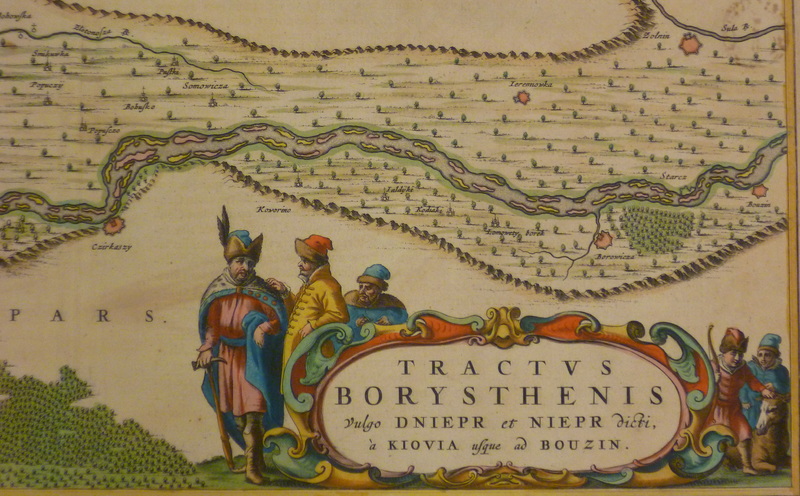
Ornamental vignette from Blaeu's map of the Dnieper
Still Image
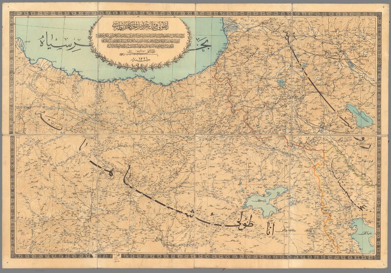
Ottoman Anatolian Frontier
Ottoman Empire in Europe
detail from the first Austrian-made atlas of the world
Ottoman tile (slice)
Page 1
Page 2
Page 3
Page 4
Page 5
Previous Page
Page
of 128
Next Page
Output Formats
atom
,
dcmes-xml
,
json
,
omeka-xml
,
rss2