Browse Items (1271 total)
Sort by:

This map can be found on page 181 of Baedeker's Handbook. This particular copy was made accessible by the Getty Research Institute and HathiTrust. Click here to read the catalog entry.
The plans in this collection are annotated and tagged in the…
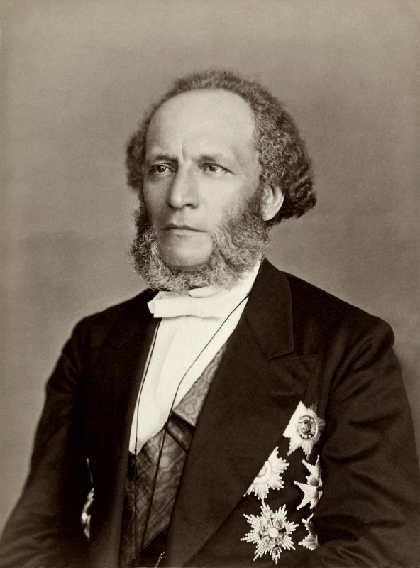
Portrait of Petr Petrovich Semenov-Tian-Shanskij (1827-1914), Russian geographer and statistician.

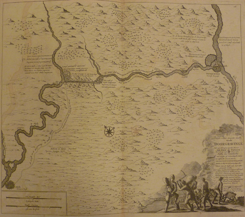
Sheet from the atlas of the Don River produced by Cornelius Cruys and published in 1704.
