Hydrography
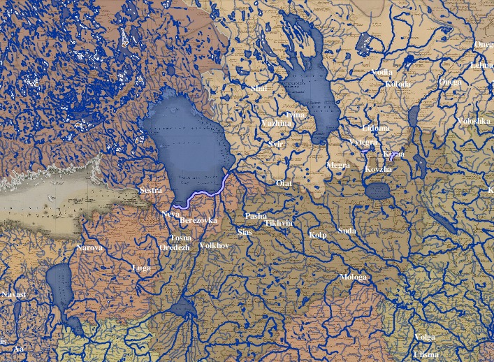
In the 1820s, while the Military-Topogrpahical Depot was busily preparing the Geographical Atlas of the empire, the Ministry of Water Transport was busily preparing the first comprehensive hydrographical atlas of the empire (published in 1828). The atlas depicted in beautifully colored detail the sluices and canals linking the Dnepr to the Nieman and Dvina, the Sias to the Volga, the rapids along the Dnepr, Mst and Volkhov rivers. It highlighted the new projects that would unite the Volga with the Don and Western Dvina, the Dnepr with the Bug, Desna, Oka and Don, all the while emphasizing the blend of “artificial and natural connections” that structured the empire’s internal waterways. [The atlas is described in RGIA f.159, op.1, d.218, ll.1-27. The atlas itself is held in the otdel kartografii in the Russian National Library.]
The Piadyshev atlas takes great care to describe the rivers and lakes of the empire - in terms of feature count, this is one of the largest sections of the digitized atlas.
