Roads & Travel Infrastructure

"Russia" is not a word that immediately conjures images of roads teeming with travelers, well-developed infrastructures of mobility, thick plumes of smoke curling upward from armies of locamotives, or even harbors congested with canvas sails and the hulls of large cargo ships. On the contrary. "Russia" tends to evoke images of rootedness and immobility, of rustling birch trees and snow-bound fields; a world in which movement, when it happens, is ponderous, arduous, and often coerced.
The idea of the Russian Empire as a world in motion has begun to gather steam in recent years, and for good reason. Tsarist history is full of armies on the march, peasant migrations, waves (small waves, but waves) of foreign settlement, the flight of ethnic minorities, nomadic migration, seasonal urban-rual labor flows, ceremonial processions, pilgrimage, and the waxing and waning of trade routes. There was movement on every scale, of course, though it can be notoriously difficult to document.
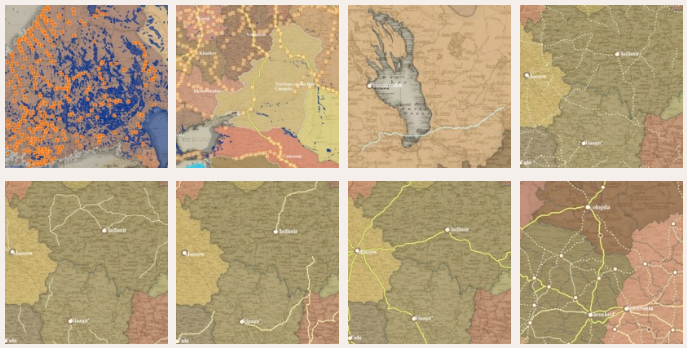
The Piadyshev atlas makes a significant contribution to the study of Russian mobility. It describes the road and river networks that channeled much of the movement of people and goods across the empire. Together, the roads alone covered some 202,000 kilometers - a length that would wind five times around the Equator.
Much of this length was devoted to post routes, of which there were no fewer than 2,869 (this according to the Post Road Itinerary fresh off the press of the Interior Ministry in 1824). These were the main arteries of communication for the imperial bureaucracy and play a significant role in the empire's spatial profile. But nearly half (99,412 kilometers) of the network was composed of carriage roads and it is worth taking a close look at how they compare with the post routes on the interactive map.
A lot of history unfolded along those lines, and in the post stations sprinkled along them.