Settlements
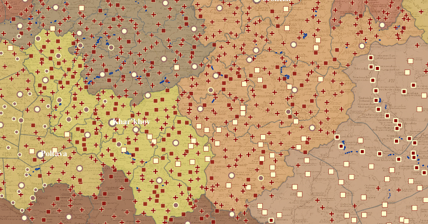
It is tempting to apply categories familiar to us from other historical contexts to the world of the tsarist emipre. One could, for example, divide the kinds of populated places shown on the Piadyshev atlas into urban and rural categories. According to this logic, the settlements of the empire would break down in this way:
- urban: provincial towns, district towns, non-administrative towns, minor towns, large and mid-sized towns (Kingdom of Poland and the Grand Duchy of Finland), fortified and unfortified towns (Georgia)
- rural: villages (sela), villages (derevni), farmsteads, Cossack villages, and - though I am uncertain about this - Protestant church parishes
An urban/rural classification is not necessarily the most productive approach to understanding Russian space however, particularly in the 18th and 19th centuries. After all, Russian space was defined by an almost relentless administrative logic throughout this period, in large part thanks to the staying power of Catherine II's provincial and town reforms. (There are numerous other valid approaches to classifying the space of the empire. And even an administrative approach is easily complicated; see the "Calculations" section for a comparative look at the intersection of various jurisdictional geographies.) Were we to look through the eyes of a bureacrat, the settlements of the empire would break down in this way:
- administrative status: provincial towns, district towns, minor towns, villages (sela), Cossack villages
- non-administrative: non-administrative towns, villages (derevni), farmsteads
Did the large and mid-sized towns of the Kingdom of Poland and the Grand Duchy of Finland, the fortified and unfortified towns of Georgia, and the Protestant church parishes in Finland and the Baltics have an administrative function similar to that of the administrative towns and villages of Russia proper? A good question to which there most certainly is an answer.
Enough preamble.