Feature Finder
In search of the essential elements of a tsarist town? This map helps you toggle between the rare and the ubiquitous.
The plans mention over 90 different features: some built, others natural. Each feature is distributed differently across the "space" of the plans. Is it possible to layer those different geographies in such a way that they make new claims or yield new observations about the tsarist vision of urban space?
This map makes a start. Use the "Find a Feature" tool to isolate the distribution of any feature in the collection. Use the "Evidence" filter to see whether the features are mentioned in the legends or represented graphically on the plan. Use the "Status" filter to see distinguish current and planned features.
Alternately, select a category to see the distribution of the set of features within that category. For example, if you click "military" you will locate all of the plans that mention fortresses, artillery warehouses, admiralties, etc. If you scroll through the feature finder, you will then be able to see each military feature as a subset of that data.
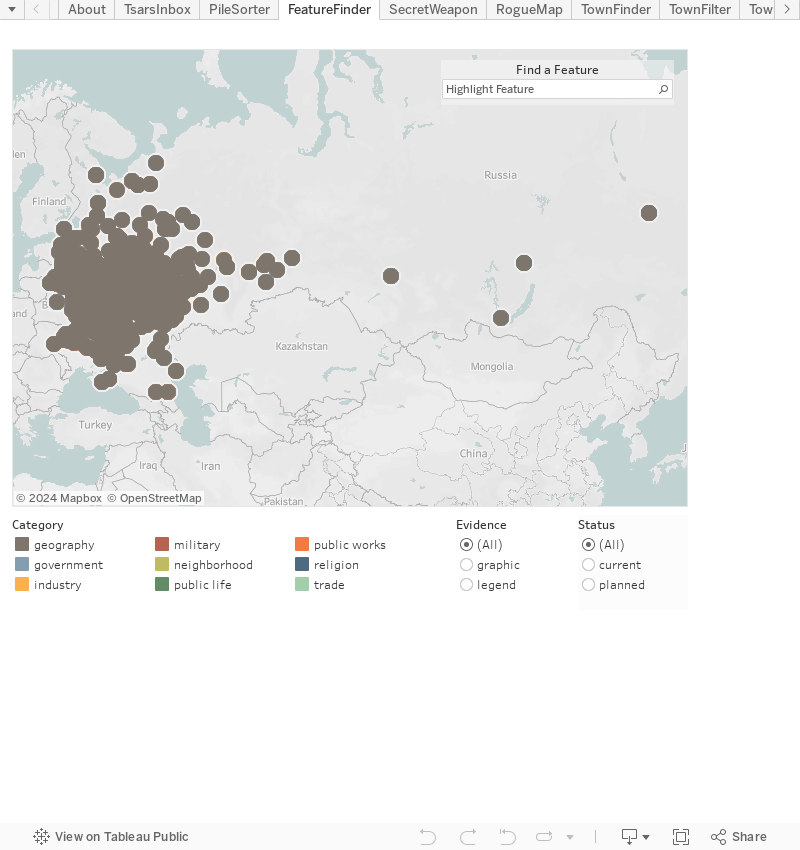
Note on Color: This map is a system of overlaid layers. When you begin, almost all placemarks will appear brown, the symbol of the "geography" category. As soon as you begin making selections, the colors will change to reflect the category of the feature you are researching.